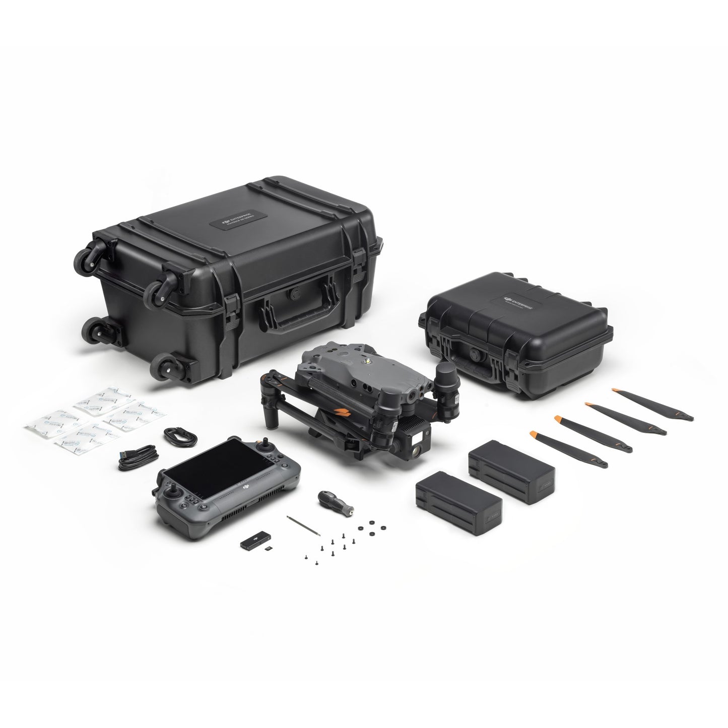
DJI Matrice 30 Surveying Drone
DJI Matrice 30 Surveying Drone
Description
The DJI Matrice 30 Surveying Drone is a highly advanced aerial platform designed for professional surveying and mapping applications. Equipped with advanced sensors and cameras, the Matrice 30 can capture detailed images and data with incredible accuracy and precision. The drone is designed to be easy to operate, featuring intuitive controls and a range of automated flight modes that make it simple to fly and capture data. With its high-performance motors and long battery life, the Matrice 30 can cover large areas quickly and efficiently, making it an ideal tool for surveying, mapping, and inspection applications. Whether you're a professional surveyor, engineer, or researcher, the DJI Matrice 30 Surveying Drone is an essential tool for capturing accurate and reliable data from the air.
Specifications
- Wide camera - Equivalent Focal Length: 24 mm, DFOV: 84°, 12 MP 1/2” CMOS Sensor, Video Resolution: 4K/30fps
- Zoom camera - 48 MP 1/2” CMOS Sensor, 5x-16x Optical Zoom, 200x Max. Hybrid Zoom, Photo Resolution: 8K, Video Resolution: 4K/30fps
- Laser rangefinder - Range: 3 m – 1200 m Accuracy: ±(0.2m+D×0.15%)
In the Box
- Aircraft
- 2 x TB30 intelligent flight batteries
- 1 x BS30 intelligent battery station
- DJI RC Pro
DJI Matrice 30 Flyer


Contact Us
At Dronepal we enjoy hearing from all types of drone enthusiasts. Please get in touch with our contact form or any of the below:
Contact Us
Email: ar@dronepal.store
Linkedin: www.linkedin.com/company/dronepal-ltd


